Beach Sand Nourishment Scoping Study: Maintaining Sydney’s Beach Amenity Against Climate Change Sea Level Rise

Introduction:

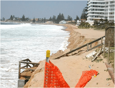
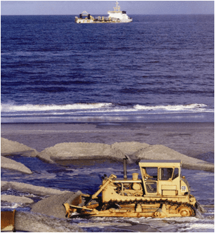
In order to address the issues of continual shoreline erosion in these “at threat” sites to a point where decision makers can commit long-term physical and financial resources, it is essential to understand the environmental, physical and economical needs and feasibility of utilising offshore marine sand source for beach nourishment purposes. The task of assessing the feasibility of these aspects is detailed and complex and seeks to advance government policy on the potential use off marine resources of sand for nourishment purposes.

In 2008 the SCCG in partnership with its project Steering Committee obtained support under the Natural Disaster Mitigation Program to undertake this study.

Aim and Objectives

This study aims to provide a significant knowledge and resource base on these issues and develop the strategic framework and direction for addressing identified data gaps, further studies (as may be required) and data collection requirements necessary for the respective Greater Metropolitan Region councils to make more fully informed decisions on the feasibility of pursuing offshore marine sources of sand to satisfy requirements for artificial sand nourishment.

Scope of Work

The study focuses in detail on the application of sand nourishment to the proposed case study sites: Collaroy / Narrabeen, Manly and Bate Bay (Cronulla) beaches; but also provides generic consideration of sand nourishment requirements in other areas of the Greater Metropolitan Region facing immediate threat including: Pittwater LGA – Bilgola Beach; Gosford LGA: Wamberal, North Avoca and Terrigal beaches; Newcastle LGA: Stockton Beach. Similarly the study provides a generic assessment of the sand nourishment requirements to offset the loss of recreational amenity within the Sydney Greater Metropolitan Region open coast beaches from projected rise in mean sea level due to climate change.

This scoping study looked at the information, data currently available in relation to the environmental, physical, social and economic aspects of utilising these available sands to meet immediate and medium term requirements of the adopted strategies for these beach environments. The study provides a significant knowledge and resource base on these issues and developed the strategic framework and direction for addressing identified data gaps, further studies, data collection requirements and methodologies necessary to implement such a formal proposal to Government(s).


Beach Sand Nourishment Scoping Study – Maintaining Sydney’s beach Amenity Against Climate Change Sea level Rise

Media Release

Frequently Asked Questions

Facts and Figures

Coastal Connections – SCCG Community Engagement Strategy (Social Media)

Introduction

In 2010 the SCCG was successful in obtaining a small grant from the Sydney Metropolitan Catchment Management Authority (SMCMA) to deliver the SCCG Coastal Connections Project. The funding is from the ‘Engaging NSW Communities in Coastline Conservation’ cross regional project involving the five coastal CMA regions in NSW and part of the Commonwealth Government’s ‘Caring For Our Country’ program.

Aims and Objectives

The aim of the SCCG Coastal Connections Project was to engage the next generation of conservation volunteers and to increase awareness and participation in coastal management and conservation activities. In addition to conducting ‘on-ground’ works the SCCG thought it would be interesting to investigate how to engage the community using new and modern mediums such as cutting-edge social marketing and social media channels.

The SCCG Coastal Connections Project was made up of four main components:

  1. To create and trial a Community Engagement Strategy that focuses on using social media to target the next generation to become involved in coastal conservation.
  2. To deliver capacity building tools and workshops that inform SCCG Member Councils and other stakeholders about new ways to engage the community, focusing on social media.
  3. To trial using a social media strategy to conduct a social media campaign to increase the awareness and participation of the SCCG Summerama: Summer Activities Program activities.
  4. To deliver in partnership with project partners three bush regeneration / conservation events held in the iconic locations of Kurnell, Narrabeen Lagoon catchment and North Head during January 2011, as part of Summerama: Summer Activities Program.
Outcomes / Outputs

The outcomes of the project are defined as:

  • Raising awareness of community conservation activities, with the anticipation of increasing participation and diversifying the community members that take part in coastal conservation.
  • Building the capacity of the SCCG Member Councils and other stakeholders to consider different / modern approaches to engaging their communities.
SCCG Community Engagement Strategy (Social Media)

The production of the SCCG Community Engagement Strategy (Social Media) was to provide a capacity building tool that Member Councils and other stakeholders could use either as a step by step guide or as an inspirational tool to help think about ideas and consider trying when using social media to engage the community.

The Strategy includes background information on the SCCG Coastal Connections Project; information about the SCCG Summer Activities Program (SAP) that was used as a case study to trial the social media strategy; the project phases of developing a new brand and image for SAP – becoming Summerama: Summer Activities Program; the Social Media Strategy used for Summerama; a “Quick Guide to Social Media” (that was developed for the social media workshop provided as part of the Coastal Connections Project); the Social Media campaign results; and finishing with comments from the Project Manager about lessons learnt and the success of the project.

The SCCG Coastal Connections Project is considered unique because it has explored access to other networks not commonly associated with natural resource management by using social media.

SCCG Community Engagement Strategy (Social Media)


Funding Project Partner / Consultant

Bush Regeneration Event Partners

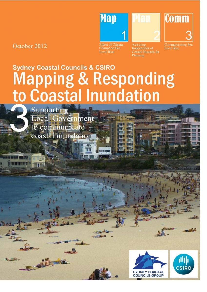
Mapping and Responding to Coastal Inundation

Introduction

Given that it is impossible to stop climate change impacts and resultant sea level increases and more intense significant storm events, Local, State and Federal authorities are faced with the need to consider key areas at immediate to medium threat. This information needs to then be applied to planning mechanisms and management strategies to cope with future impacts of increased coastal inundation and erosion directly impacting existing, redeveloped and new development within their coastal landscape areas.

This project maps areas of risk, utilising sophisticated modeling together with Councils own information sources Inundation(eg LiDAR technology) to determine risk and develop consistent model planning and management responses in consultation with relevant state government agencies and the broader community.

In 2009 the SCCG secured grant funding under NDMP to undertake the project with the CSIRO entitled Mapping and Responding to Coastal Inundation

Aims and Objectives

  • Enhance the capacity and knowledge of local governments and other decision makers in the region to prepare for and adapt to climate change (specifically focusing on sea level rise and extreme water levels, eg storm surges),
  • Develop an approach to climate change assessment and adaptation with a particular focus on relevant planning provisions in identified immediate and future coastal inundation (flood) zones and potential beach erosion escarpments,
  • Develop and distribute associated community risk disclosure information and corresponding community and stakeholder education programs to better inform communities of the degree of risk(s).
Project Outputs

The SCCG engaged the Environmental Defender’s Office NSW (EDO) to conduct a comparative assessment of:

  1. Australian State and Territory planning and coastal legislation and policies that address sea level rise, coastal erosion, coastal inundation and storm surge; and
  2. regional and international jurisdictions.

The results of this analysis are presented in the report prepared by the EDO, a copy of which can be downloaded by clicking on the following link:


Audit of Sea Level Rise, Coastal Erosion and Inundation Legislation and Policy


For the Stage Outcome Reports, please click on the report titles below.


Stage 1: Effect of Climate Change on Sea level Rise and Extreme Sea Levels:

A set of high resolution hydrodynamic model simulations were produced in order to obtain current climate, as well as storm tide return level estimates and sea level rise considerations.

Stage 2: Development of model planning provisions to integrate sea level rise and extreme sea level events into relevant planning strategies of the SCCG:


  • Assess existing planning strategies (Australia and Internationally)
  • Identify gaps in information, knowledge, capacity or external barriers
  • Develop model provisions, actions and implementation strategies

Stage 3: Develop and distribute community risk disclosure information and corresponding community and stakeholder education program:


Assess existing education strategies within Australia and Internationally for addressing and communicating sea level rise and flooding impacts.

  • Consultation with member councils and targeted community groups and individuals to identify gaps in information, knowledge and capacity as well as internal and external barriers for message transfers.
  • Utilising outcomes of stage 1 and 2 and incorporating the above to develop and deliver freely available educational tools that build the understanding and capacity of relevant stakeholders.
PROJECT LAUNCH

Southern Function Room, Town Hall House, 4 October 2012.

This project was launched to assisted attendees to understand project outcomes and outputs to take back to their own organisations for use.

There was a Panel Discussion with the key speakers of the day. This allowed attendees to ask questions about the project outputs and the NSW 2012 Stage One Coastal Reforms.

The launch also involved the establishment of a secure and temporary FTP server to provide Member Council access to the project outputs including all mapping information, stage outcome reports and associated meta date information.

Click here for the Project Launch Report.

Click here for the NCCARF Climate Change Adaptation Good Practice Case Study of the SCCG Mapping and Responding to Coastal Inundation project.


Walking Coastal Sydney

Introduction

Sydney’s coastline represents one of the most beautiful and environmentally diverse attractions in the world. It features cliffs, beaches and inlets of magnificent beauty unique to the region. Outlined in the brochures produced through the Walking Coastal Sydney project is a continuous walking track that residents and visitors can utilise to explore the beautiful coastline of Sydney.
Aim and Objectives

The aim of the Walking Coastal Sydney project is to promote public access to, and enhance the appreciation and recreational enjoyment of Sydney’s coastline and estuaries for the people of Sydney and visitors to the city. Walking Coastal Sydney was a partnership project between the Sydney Coastal Councils Group, the Walking Volunteers Inc. and Department of Planning, with funding received through the Sharing Sydney Harbour Access Program.

Through the project a series of brochures/walking maps that combine to provide a mapped and walkable route from Pittwater in the north to Sutherland in the south and linking with existing coastal walks have been produced.


Downloadable Maps

Updated Walking Maps are available to download at this link.

Note: this link can also be used to download the maps to your smart phone or tablet.

For Android phone to navigate, please follow instructions below:

  1. Once you have clicked on above link.
  2. Click on Google Maps app
  3. Tap Menu > Your Places > Maps
  4. Tap the map “Walking Coastal Sydney” which should now be on the Maps menu

For detailed instructions on how to download and/or print maps, click here.

Walks – Brochures/Maps

Brochures for the mapped walks as part of Walking Coastal Sydney are provided below.

This brochure covers the coastal route from Barrenjoey Headland at Palm Beach to Narrabeen Lakes on Sydney’s Northern Beaches. At its northern end, it is a starting or terminal point for the network of walks, while at its southern end it connects with the Narrabeen Lakes to Manly Lagoon walk.

This walk begins with the coastal and Pittwater panorama from historic Barrenjoey Lighthouse, passes through Palm and Whale Beaches following a series of rugged natural headlands with extensive views interspersed with sweeping and secluded beaches, before reaching coastal dunes and wetlands feeding into Narrabeen Lagoon.

This brochure covers the route from Narrabeen Lakes to Manly Lagoon on Sydney’s Northern Beaches. At its northern end it connects with the Barrenjoey to Narrabeen Lakes walk; while its southern end links with the Manly Lagoon to North Head and the Spit walk.

This is a splendid coastal walk featuring long, sweeping beaches, separated by several headlands with extensive views, including Long Reef Point with its aquatic reserve. The entrances of four lagoons with their wetland areas are also crossed.

This magnificent walk features the famous Manly Beach, Shelly Beach, Sydney Harbour National Park, the former School of Artillery, North Head Sanctuary, and North Head which dominates the entrance to Sydney Harbour and offers extraordinary views down-harbour. It passes the former Quarantine station and Manly Cove before returning to Manly wharf to set out on the popular Manly Scenic Walkway.

This iconic walk circles North Harbour before climbing though the outstanding scenery of another section of Sydney Harbour National Park which overlooks the Heads, Crater Cove and Grotto Point Light. It then drops into popular Clontarf Beach and a final bush track to the Spit bridge. At its northern end the walk connects with the Narrabeen Lakes to Manly Lagoon walk while its western end links to, and partly duplicates, the Harbour Bridge to Manly via Spit walk.

This brochure covers walking routes from Sydney Harbour Bridge via the Spit Bridge and on to Manly. At its southern end it connects with the Harbour Circle and Harbour to South Head and Clovelly walk. Its northerly section links and partly duplicates the Manly Lagoon to North Head and the Spit walk.

This brochure covers walking routes from Sydney Harbour Bridge via South Head and on to Clovelly. At the Harbour Bridge it connects with the Harbour Circle Walk and Harbour Bridge to Manly via Spit walk; while at its southern end it connects with the Clovelly to Cronulla walk.

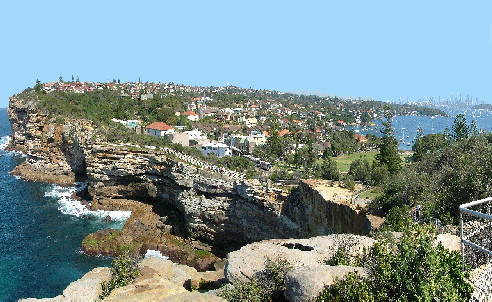
The main route covers the southern shores of Sydney Harbour through scenic waterside parkland and urban landscapes resonating with history and interesting architecture. At charming Watsons Bay it meets the dramatic entrance to Sydney Harbour. It then swings south past the notorious Gap and 80m ocean cliffs before dropping down to iconic Bondi Beach and the succession of eastern beaches to Clovelly. Sites of interest along the way include Macquarie Lighthouse, two historic cemeteries, waterfront parkland, interesting architecture and continuously wonderful scenery.

This brochure covers walking routes from Clovelly to Cronulla. At Clovelly it connects with the Harbour Bridge to South Head and Clovelly walk. Its southern end is the termination of this walking network but connects, via the Bundeena Ferry, with the coastal walk south through Royal National Park. Part of the link walk around the north western side of Botany Bay is covered by the Cook Park Trail.

The main route generally follows the route of the Federation Track along Sydney’s Eastern Beaches to La Perouse on Botany Bay. Beaches and cliffs, National Park, golf courses, historic military and other sites, a shipwreck, museums, a historic cemetery, important Aboriginal sites and land especially at historic La Perouse, characterise this northern part of the walk.

From Kurnell, at Cook’s Landing Place, the route passes through more of Botany Bay National Park with cliffs and wide ocean views, delightful coast flora, sandhills and Cape Baily Lighthouse, before leaving the National Park at Boat Harbour to follow the long sandhill-backed Wanda and Cronulla Beaches to Cronulla itself.

At present, there is no permanent ferry link between La Perouse and Kurnell. A long walk around Botany Bay is possible, and the Cook Park Trail is one attractive section, but much of the remainder is best done at the moment via public transport.

* Please note – this map does not reflect recent changes made to the walking route between Little Bay and La Perouse due to the opening of Malabar Headlands National Park.

This brochure covers a walking route circling Sydney Harbour with the Sydney Harbour and Gladesville Bridges as its eastern and western points. At the Harbour Bridge it connects with the Harbour Bridge to South Head and Clovelly and Harbour Bridge to Manly via Spit walks; at its southernmost point it connects with the Gladesville Bridge to Ryde Bridge walk.

The main route is a 60km, four-day walk, but it can easily be broken up into many short walks. Observatory Hill near the Harbour Bridge displays the circle’s westward vista of bays and waterways. Big bridges feature strongly, with seven major crossings. Highlights include north shore bays and bushland; urban and historic architecture, recycled industrial landscapes, former Callan Park asylum, Darling Harbour and the cottages and pubs of Millers Point. The northern and southern halves are roughly equal in length with the north often on undulating park and bush tracks, while the south tends toward flatter streets or parks.

This brochure covers walking routes between two bridges on both sides of the Parramatta River, and traverses a number of significant bays, parks and historic sites, and includes the magnificent Concord Foreshore Trail between Majors Bay and Brays Bay and the moving Kokoda Track Memorial.

Other features of interest include the former Walker Family estate buildings Yaralla and Rivendell, historic Gladesville Hospital, Sydney’s last car ferry Mortlake to Putney , several former industrial sites, waterfront parkland, and a historic rail bridge now converted for bike and pedestrian use. At its eastern end the brochure connects with the Harbour Circle Walk while its western end links with the Parramatta River Walk – Ryde Bridge to Parramatta.

This brochure covers walking routes along the western section of the Parramatta River. At its eastern end it connects with the Parramatta River Walk- Gladesville Bridge to Ryde Bridge. Its western end  is the terminal point for this series of walks.

The route includes a fascinating walk through the picnic grounds and mangrove walkways of Bicentennial Park; edges the remarkable recovered landscape and built environment of Sydney Olympic Park, including its extraordinary Brickpit Ring. The walk crosses the river twice as it continues along the riverbank of the Parramatta river through Parramatta CBD before entering the world heritage listed Parramatta Park. A track opened in 2011 leads to the western end of this walking network and the historic camp site at the head of the River reached by Governor Arthur Phillip in April 1788.

* Hard copy walking maps are no longer available.

Quantifying the Value of Sydney’s Beaches

Introduction

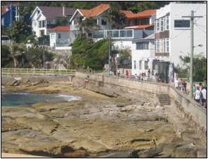
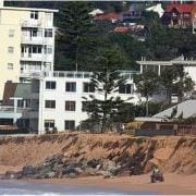
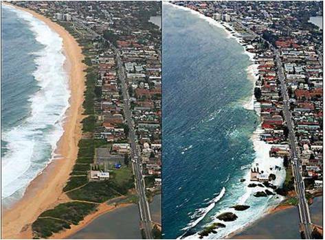
Sydney beaches are subject to current coastal hazards such as shoreline recession and exposure of rocks and ad-hoc seawalls due to the action of large waves. These waves are predominantly associated with the occurrence of strong depressions known as East Coast Lows (ECLs), and can lead to closure of beaches and threats to public and private property. The effects of these systems will be exacerbated by the impacts of climate change, particularly sea level rise and changes in the frequency and intensity of storm events.

In order to respond to these impacts, coastal managers and policy developers require information on the costs and benefits of each potential course of action. Whilst good information exists regarding the costs of management interventions such as the construction or enhancement of protective structures such as seawalls, there is little available information on the costs of inaction. This project therefore sought to estimate the economic importance of selected Sydney beaches.

The project was completed under a Memorandum of Understanding (MOU) between the University of NSW and the SCCG, with research undertaken as a PhD. Case studies were conducted at three locations with the assistance of Manly Council, Hornsby Shire Council and Warringah Council.

Funding and in-kind support

The project was supported by a Community Action Grant from the (then) NSW Greenhouse Office, which is now incorporated into the NSW Department of Environment, Climate Change and Water. The full grant title was “Quantifying the Value of Sydney (NSW) Beaches in order to assess cost / benefit of necessary coastal protection / abatement measures as a result of enhanced climate change impacts”. Additional project support funding was provided by CSIRO Sustainable Ecosystems (now Ecosystem Sciences) through a postgraduate studentship awarded to the PhD candidate. A PhD stipend was provided by UNSW.

Data was provided by the NSW Department of Lands to allow for application of the Hedonic Pricing Method, which examines the impact of environmental amenities on the local housing market. Warringah, Pittwater and Hornsby councils also provided additional GIS data layers for use in the hedonic analysis.

Project management was provided by SCCG Executive Officer Geoff Withycombe and Associate Professor Dale Dominey-Howes (UNSW), with work undertaken by the PhD candidate Dave Anning. Expert advice and project steering was provided by the SCCG Beach Management Working Group, which is a panel of beach experts representing local and State government organisations, as well as community and stakeholder groups.

Aim and Objectives

The aim of the project was to estimate the economic value of selected Sydney beaches, so that this information could be used by relevant parties to select appropriate adaptation responses to projected climate change impacts. This project estimated the total economic value of selected Sydney beaches, in three different Local Government areas; two oceanic sites and one estuarine site were selected. The sites were: Collaroy-Narrabeen, Manly Ocean Beach, and a combined site in the Hawkesbury River that incorporated Brooklyn Baths and Dangar Island. These case-study sites represent different biophysical environments and highlight the key coastal management issues of the region, threats to infrastructure and the loss of values associated with recreation and visual amenities through erosion.

A suite of valuation approaches was applied, both to allow for comparison between methods, and to provide answers in forms relevant to different policy questions. The hedonic pricing method was applied in order to examine the influence of beaches on local property prices, and hence examine the costs of allowing shoreline retreat or enacting a policy of managed retreat, a hedonic pricing study was undertaken at Collaroy-Narrabeen.

The study also incorporated extensive empirical surveys of beach users. A total of 420 onsite beach user interviews were conducted across the case study sites, with a further 120 completed online. These interviews employed a combined Travel Cost – Contingent Valuation survey instrument, which was designed to be deployed on handheld personal computers (smartphones). The use of this technology allowed for more complex survey designs, efficient surveying, and improved data management. Future options include use of inbuilt translation services to survey non English-speaking tourists, and use of GIS positioning to accurately plot the location of interviews and identify spatial variability in responses.

The travel cost method determines the extent of expenditure that beach visitors incur in order to visit the beach, which provides a lower-bound estimate of the value of the resource, as it is assumed that the benefits of the trip must outweigh the expenses or the trip would not be taken.

The contingent valuation method was applied to derive estimates of non-use values such as knowing that the resource will be available for use by future generations (bequest value). This involves describing a future erosion scenario, and asking beach users whether they would be willing to contribute to a project designed to prevent the impacts described.


Key findings

The hedonic pricing study conducted at Collaroy-Narrabeen identified a very strong preference for beachfront property. This results in an environmental premium associated with these properties of around 40%, relative to an otherwise identical property immediately landward of the first row. Given the high value of land, this represents a premium in excess of $1 million per beachfront house block (2008 dollars AUD), with more than 90 houses along the entire beach. Clearly, this does not reflect the exposure of these properties to coastal hazards, and further work will attempt to determine the benefits associated with risk-reduction interventions such as beach nourishment.

Travel costs associated with daytrip recreation are around $6 per person per day, with additional onsite expenditure of around $5. This includes such things as drinks and food purchased in the local beach precinct. Whilst translating this to an annual total is challenging due to limited information regarding the number of beach visitors, some estimates are possible. In the case of Manly Ocean Beach, for which reasonable visitation estimates exist, day trip recreation accounts for travel cost expenditure of around $25 million p.a. (2009 AUD). Incorporating onsite expenditure brings the total to around $50 million p.a. These figures represent minimum bounds for the value of the resource, as they only incorporate use values, and do not include social or cultural values.

Travel costs associated with daytrip recreation are around $6 per person per day, with additional onsite expenditure of around $5. This includes such things as drinks and food purchased in the local beach precinct. Whilst translating this to an annual total is challenging due to limited information regarding the number of beach visitors, some estimates are possible. In the case of Manly Ocean Beach, for which reasonable visitation estimates exist, day trip recreation accounts for travel cost expenditure of around $25 million p.a. (2009 AUD). Incorporating onsite expenditure brings the total to around $50 million p.a. These figures represent minimum bounds for the value of the resource, as they only incorporate use values, and do not include social or cultural values.

An Overview & Summary of the project is available here.

Outcomes

Understanding the scale of the economic impacts associated with the presence of healthy beaches allows for more effective allocation of coastal management resources at the local, State and (potentially) national levels. The values generated can provide a baseline against which changes (natural or otherwise) may be tracked. The locally generated benefit estimates can be used by other councils in Sydney, and NSW more broadly; to undertake rapid assessment of different options, as is appropriate in the early stages of development of Coastal Zone Management Plans. The methodology, which will be made publicly available in plain-language format, can assist councils in undertaking more detailed local studies where more precise estimates are required, such as in consideration of asset protection options. At the strategic level, this information can be used in the development of policies which reflect and preserve the economic streams generated from coastal assets.

Links:

For further information on environmental valuation tools, please visit the following sites:

http://www.ecosystemvaluation.org/
http://www.oceaneconomics.org/nonmarket/methodologies.asp

For details of beach valuation studies conducted elsewhere (primarily the US):

http://www.oceaneconomics.org/nonmarket/NMsearch.asp

http://www.oceaneconomics.org/nonmarket/valEstim.asp


THESIS: Estimation of the economic importance of beaches in Sydney, Australia, and implications for management

David Anning, School of Biological, Earth and Environmental Sciences University of New South Wales

For more information please contact SCCG or Dave Anning, University of NSW david.anning@student.unsw.edu.au


Summerama: Summer Activities Program

Summerama is a community activities program run every year during January, designed to enhance community awareness and increase the community’s interaction and connection with Sydney’s coast through fun, family orientated coastal activities.

http://www.sydneycoastalcouncils.com.au/summerama/

Underwater Sydney

Underwater Sydney

This website brings Sydney’s underwater world alive providing images and information on the marine species that live in Sydney. Go to the website and search for your local government area.

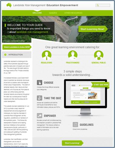
Landslide Risk Management Education Empowerment Interactive Website

Landslides represent a challenge to the safety of the Australian community through potential destruction of property and loss of life. This was brought into stark reality by the tragic events of the Thredbo landslide of July 1997.

It is believed that every Local Government Area in Australia has landslide risk issues of one form or another. The extent of landslide hazards, their nature and their likelihood, will of course vary from place to place.

This website launched late 2012 has been developed by Australian Geomechanics Society (AGS) in an on-going partnership with the Sydney Coastal Councils Group, provides a ready means for empowerment and encouragement of individuals who might be interested in Landslide Risk Management, be they regulators, practitioners or members of the general public.

It follows on from the very success 2007 SCCG and AGS project which developed AGS 2007 including:

  • Landslide Risk Management – Practice Note
  • Landslide Hazard Zoning – Guideline
  • Landslide Slope Management and Maintenance – Guideline

The interactive web site provides the user a broad range of information around landslide risk management. The web site provides:

  • An interactive quiz by way of introduction for each of the areas of interest: regulator; practitioner; and general public;
  • Videos of landslides in action from around the world;
  • Direct links to the AGS (2007) Landslide Risk Management Guidelines, as published in Australian Geomechanics, http://lrm.australiangeomechanics.org/other-resources/guidelines/ags-2007/
  • Video coverage of the Landslide Risk Management “Risky Roadshow” seminars held throughout the nation in the first half of 2011, presenting important features from AGS (2007) to both regulators and practitioners;
  • Answers to frequently asked questions; and
  • Links to other important landslide related web-sites.

This great resource will:

  • Assist your Learning
  • Assess your knowledge and understanding of landslide risk management
  • Increase your knowledge of useful landslide management tools &
  • Expand, support, advance and validate your knowledge for professional or personal needs

This project was made possible with supporting funding from the Australian and NSW Governments under the National Disaster Mitigation Program (NDMP).

Plastic in the Marine Environment


Introduction

Plastic is finding its way into the environment, particular waterways, coasts and beaches. A great deal is manufactured from non-biodegradable materials which have many environmental and related implications.

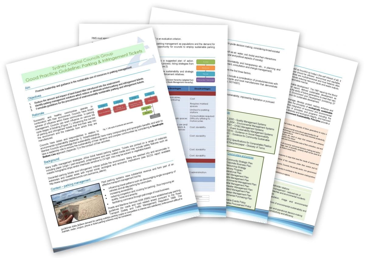
In response to concerns raised by the Full Group about the prevalence of plastic on beaches and in waterways (particularly plastic parking tickets and infringement notices), a technical report was produced by the Secretariat to develop an understanding of its risks and implications. The report details, in general terms, the nature and impacts of plastic in the marine environment and the policies and procedures implemented by Member Councils. A copy is available by clicking here.

Member Councils recognise that the issue of parking and infringement tickets in the environment presents an opportunity to reduce cost, decrease consumption and waste, and improve efficiency and sustainability outcomes. Councils have the ability to reduce the environmental impact of parking systems and reductions align with public sector responsibilities and sustainability objectives. In this regard, the Secretariat has also prepared a Good Practice Guideline addressing sustainability in parking management. It aims to translate sustainability objectives into an action plan, tiered according to each Council’s particular policies and strategies. The Guideline is intended to be a living document and updated and reviewed as required.


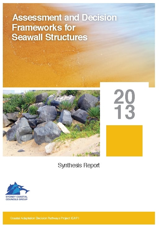
Assessment and Decision Frameworks for Seawall Structures Project

In July 2011, the Sydney Coastal Councils Group (SCCG) was awarded funding under the Coastal Adaptation Decision Pathways Project (CAP) for three projects- (1) “Prioritising Coastal Adaptation and Development Options for Local Government”; (2) “Demonstrating Climate Change Adaptation of Interconnected Water Infrastructure Project” and; (3) “Assessment and Decision frameworks for Existing Seawalls”. Funding has been provided by the Australian Government represented by the Department of Climate Change and Energy Efficiency. The Coastal Adaptation Decision Pathways projects is an Australian Government Initiative. A Newsletter covering all three projects is available here.

This project, “Assessment and Decision frameworks for Existing Seawalls”, assists Local and State Governments to evaluate the robustness and condition of existing small seawalls for coastal climate change protection and outline possible options for further upgrades.

Seawalls and protection structures exist at many locations where construction details are unknown and the capacity of the structures to withstand existing storm and inundation events is not well understood. Where coastal protection is deemed the most appropriate management option, the state of existing seawalls and other protection structures is an important consideration. Sea wall asset owners and managers (usually Local Governments) are faced with determining development applications in areas protected by structures of unknown quality and origin (some approved and some not). Frequently there is conflict between the coastal managers and the community who have varying impressions of their effectiveness.

The project has produced Part A: Synthesis Report (3.8MB) based on individual reports prepared by subject specialists.

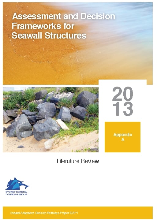
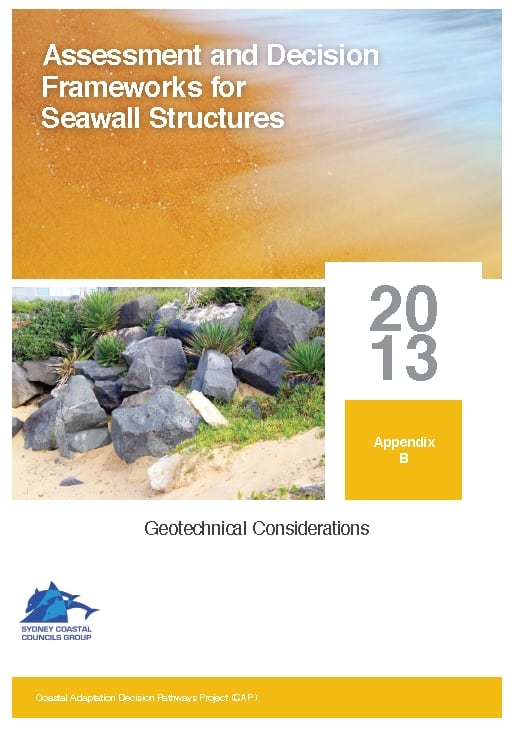
A separate Part B. Appendices include:


A forum held at Rockdale Council, provided presentations on all aspects of the project, and an open Q&A followed by a ‘hypothetical’ to explore the complex issues involved in managing existing seawalls.

The project is being delivered in partnership between the SCCG, Coastal Environment Pty Ltd, Griffith University Centre for Coastal Management and the Water Research Laboratory (UNSW). Click here to learn more.