Advisory Committee – Building Capacity to Implement the ‘Risk-based Framework’

The Environment, Energy and Science (EES) Group is delivering a water quality initiative to improve the management of urban and rural diffuse source water pollution in NSW, as part of their commitment to implement the Marine Estate Management Strategy (MEMS) 2018-2028.

A key tool being used for this initiative is the ‘Risk-based framework for considering waterway health outcomes in strategic land use planning decisions’ (Risk-based Framework).The Risk-based Framework is a protocol that decision-makers, such as councils and environmental regulators, can use to help manage the impact of land-use activities on the health of waterways in NSW. Since the release of the framework, it has been piloted in several Councils in NSW, including Northern Beaches Council, and recognized in the Greater Sydney Commission’s district plans and the Marine Estate Management Authority’s 10-year Strategy.

One of the actions from MEMA’s Stage 2 Implementation Plan is to build capacity for stakeholders to implement the framework through delivery of guidance materials, industry forums and an online portal (Action 1.2). To achieve this an advisory committee has been set up and the SCCG’s Executive Officer has been invited to stand on this committee. The SCCG look forward to representing the interests of member councils to ensure that the outputs of the building capacity project are relevant to their activities.

Coastal Risk Management in Member Councils

Introduction

Risk management is a tool used to make decisions about the probability of an event and its resultant consequences. It aims to provide a structured way of identifying and analyzing potential risks, and devising and implementing appropriate responses while providing an opportunity to enhance current practice and support. It is defined by Australian Standard 4360 (2004) as “the culture, processes and structures that are directed towards realising potential opportunities whilst managing adverse effects”. It involves a multifaceted process that is best carried out in a multidisciplinary team ensuring a systematic application to the tasks of identifying, analysing, assessing, treating and monitoring all forms of risk.

Management of coastal and estuarine risk is subjective as there are different reasons and values that influence the cost benefit ratio of protecting the coastal zone such as:

  • the loss of property,
  • the value of a beach,
  • the cost of protective works whether it be construction or renourishment, or
  • the value of the coastal zone by user groups e.g. surfers, land owner and tourism industry.

Risk management for the SCCG Member Councils is of prime importance as the management of risks has a wide distribution. Focus is required for the integration of not only natural processes such as coastal erosion, cliff stability and flooding but now must also incorporate issues such as public safety.

Aim and Objectives

The purpose of consultation process and the resultant report is to provide a status and recommendations report on risk management practice for Councils in Sydney coastal areas including beaches, estuaries, lakes and nearshore marine waters (suggested 3 nautical miles offshore).

The objectives of identifying risk management in all coastal areas are to establish:

  • what is risk management for each relevant coastal, estuary and/or waterway zone
  • what are the common risks faced by the Member Councils
  • what are the common practices of risk management
  • what are the gaps in coastal risk management practice

The purpose of the report is to provide Councils with:

  • details of member council feedback for the issue of Coastal Risk Management facing Sydney’s coastal Councils
  • collate a status and recommendations report as part of the process to identify the issues facing SCCG Councils by recognising:
  • common coastal risk issues and management activities identified for Member Councils
  • recommendations for managing risk in the coastal zone
Outcomes / Outputs

The report gives the necessary information to provide an overview of the current status and activities of coastal risk management in Member Councils including recommendations for future priorities. It also provides a unique a preliminary benchmark of the current practice in coastal risk management for SCCG Member Councils.

For a hard copy of the Report, or for more information please contact the SCCG.

Status and Recommendations Report – Risk Management for Sydney Coastal Councils, 2005

Landslide Risk Management: Geotechnical Investigations

Introduction

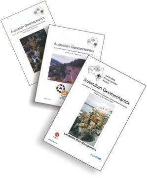
In recognition of the challenge between development pressures and landslide hazard, in the year 2000 the Australian Geomechanics Society (AGS) published a benchmark technical paper “Landslide Risk Management Concepts and Guidelines” (AGS, 2000) – which significantly updated an earlier 1985 guideline. It was recommended in the report of the Coroner’s Inquiry into the 1997 Thredbo landslide that AGS (2000) be taken into account – through directions in the Building Code of Australia and local codes dealing with planning, development and building approval procedures – when assessing and planning urban communities in hillside environments.

Whilst AGS (2000) presented concepts and guidelines to assist practitioners, there remained a need to provide supplemental information to further assist practitioners, to assist regulators and to provide advice to the broader Australian population. This was recognised by the SCCG who in turn submitted a successful grant application under the NSW and Commonwealth Governments’ National Disaster Mitigation Program.

Outcomes / Outputs

The project(s) are intimately related to management of risk associated with landslides in all parts of Australia, covering sloping terrain generally and with applicability to the coastal and near-coastal environment. The project involved the development of two guidelines, two commentaries and a suite of GeoGuides. These provide assistance variably to regulators, practitioners and owners and occupiers of property and land potentially subject to landslide hazards.

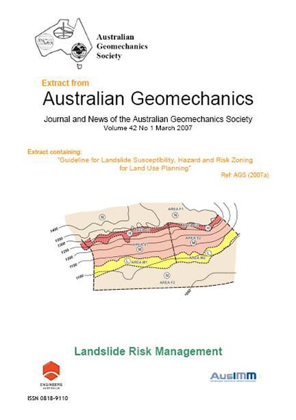
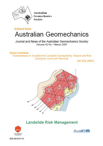
  1. The Landslide Zoning Guideline covers landslide susceptibility, hazard and risk zoning for land use planning. It provides guidance to government regulators (officers of local government and state government instrumentalities) and geotechnical practitioners in the methods of Landslide Hazard Zoning. Such characterisation provides input to the land use planning process in areas of landslide hazard. This guideline is supported an associated commentary document.
  2. The Slope Management Guideline – known as the Australian GeoGuides for Slope Management and Maintenance – provides owners and occupiers, and therefore the public in the broader sense, with guidance on management and maintenance of properties subject to landslide hazard. These two guidelines are important contributions to the management of landslide hazard at both ends of the process – initial identification of landslide hazard in the planning process, and management of properties prone to landslide hazard by the end-user.
  3. The guidelines benefit the general community (Australian GeoGuides) and Local Government regulators (Landslide Zoning) through achieving safer, more sustainable communities in relation to their exposure to landslide risk, and reduce risk to the community through improved planning and slope management practices. These guidelines link with the risk management practices presented in AGS (2000) and the recently published Building Code of Australia (BCA) Guideline, and will provide long-term natural disaster mitigation benefits to housing and infrastructure.

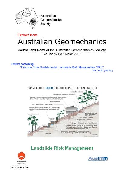
The LRM Practice Note provides guidance to practitioners in the performance of project specific landslide risk assessment and management, and also to government officers in interpretation of the reports they receive. The Practice Note is suited to be an external reference document for legislative requirements. The Practice Note supersedes the recognised industry “standard” on LRM in Australia – AGS (2000).

The guidance provided by the Practice Note is of a technical nature and is mainly for the geotechnical practitioner for the production of landslide risk assessment and management for development in areas prone to landslide hazard. This includes guidance on appropriate methods and techniques, and tolerable levels of risk. Currently, an acceptable level of risk to life for the individual most-at-risk is reasonably well identified, though perhaps conservatively so. As a result of a number of issues, there has been no similar guidance for risk to property, which is now provided in the Practice Note.

Project Awards

Warren Medal – Civil Collage

In early 2008 the SCCG and Australian Geomechanics Society Landslide Risk Management Project was awarded the prestigious Warren Medal the premier award of the Civil College.

Australian Safer Communities Awards 2008

“AGS (2007)” was submitted for judging in the Australian Safer Communities Awards 2008 in the category of “Projects of National Significance”. The project received a ‘High Commendation’. Award winners are recognised “throughout the emergency management sector for their outstanding achievement, innovation and professional standing”.


Guideline for Landslide Susceptibility, Hazard and Risk Zoning for Land Use Management

Commentary on Guideline for Landslide Susceptibility, Hazard and Risk Zoning for Land Use Management

Landslide Practice Note – Practice Note Guidelines for Landslide Risk

Journal of Emergency Management in Australia, Landslide Risk Management for Australia.

Australian GeoGuides for Slope Management and Maintenance

Australian GeoGuide on Landslides

Australian GeoGuide on Soil Slopes

Australian GeoGuide on Rock Slopes

Australian GeoGuide on Water and Drainage

Australian GeoGuide on Retaining Walls

Australian GeoGuide on Landslide Risk

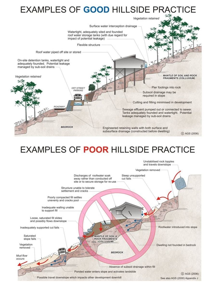
Australian GeoGuide on Hillside Construction

Australian GeoGuide on Effluent and Surface Water Disposal

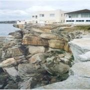
Australian GeoGuide on Coastal Landslides

Australian GeoGuide on Record Keepings

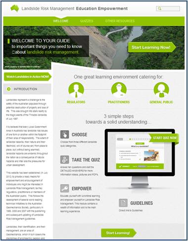
Landslide Risk Management Education Empowerment Interactive Website

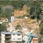
Landslides represent a challenge to the safety of the Australian community through potential destruction of property and loss of life. This was brought into stark reality by the tragic events of the Thredbo landslide of July 1997.

It is believed that every Local Government Area in Australia has landslide risk issues of one form or another. The extent of landslide hazards, their nature and their likelihood, will of course vary from place to place.

This website launched late 2012 has been developed by Australian Geomechanics Society (AGS) in an on-going partnership with the Sydney Coastal Councils Group, provides a ready means for empowerment and encouragement of individuals who might be interested in Landslide Risk Management, be they regulators, practitioners or members of the general public.

It follows on from the very success 2007 SCCG and AGS project which developed AGS 2007 including:

  • Landslide Risk Management – Practice Note
  • Landslide Hazard Zoning – Guideline
  • Landslide Slope Management and Maintenance – Guideline

The interactive web site provides the user a broad range of information around landslide risk management. The web site provides:

  • An interactive quiz by way of introduction for each of the areas of interest: regulator; practitioner; and general public;
  • Videos of landslides in action from around the world;
  • Direct links to the AGS (2007) Landslide Risk Management Guidelines, as published in Australian Geomechanics, http://lrm.australiangeomechanics.org/other-resources/guidelines/ags-2007/
  • Video coverage of the Landslide Risk Management “Risky Roadshow” seminars held throughout the nation in the first half of 2011, presenting important features from AGS (2007) to both regulators and practitioners;
  • Answers to frequently asked questions; and
  • Links to other important landslide related web-sites.

This great resource will:

  • Assist your Learning
  • Assess your knowledge and understanding of landslide risk management
  • Increase your knowledge of useful landslide management tools &
  • Expand, support, advance and validate your knowledge for professional or personal needs

This project was made possible with supporting funding from the Australian and NSW Governments under the National Disaster Mitigation Program (NDMP).

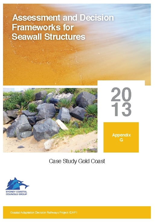
Assessment and Decision Frameworks for Seawall Structures Project

In July 2011, the Sydney Coastal Councils Group (SCCG) was awarded funding under the Coastal Adaptation Decision Pathways Project (CAP) for three projects- (1) “Prioritising Coastal Adaptation and Development Options for Local Government”; (2) “Demonstrating Climate Change Adaptation of Interconnected Water Infrastructure Project” and; (3) “Assessment and Decision frameworks for Existing Seawalls”. Funding has been provided by the Australian Government represented by the Department of Climate Change and Energy Efficiency. The Coastal Adaptation Decision Pathways projects is an Australian Government Initiative. A Newsletter covering all three projects is available here.

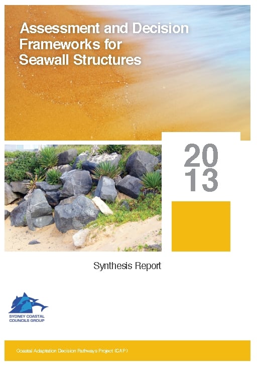
This project, “Assessment and Decision frameworks for Existing Seawalls”, assists Local and State Governments to evaluate the robustness and condition of existing small seawalls for coastal climate change protection and outline possible options for further upgrades.

Seawalls and protection structures exist at many locations where construction details are unknown and the capacity of the structures to withstand existing storm and inundation events is not well understood. Where coastal protection is deemed the most appropriate management option, the state of existing seawalls and other protection structures is an important consideration. Sea wall asset owners and managers (usually Local Governments) are faced with determining development applications in areas protected by structures of unknown quality and origin (some approved and some not). Frequently there is conflict between the coastal managers and the community who have varying impressions of their effectiveness.

The project has produced Part A: Synthesis Report (3.8MB) based on individual reports prepared by subject specialists.

A separate Part B. Appendices include:


A forum held at Rockdale Council, provided presentations on all aspects of the project, and an open Q&A followed by a ‘hypothetical’ to explore the complex issues involved in managing existing seawalls.

The project is being delivered in partnership between the SCCG, Coastal Environment Pty Ltd, Griffith University Centre for Coastal Management and the Water Research Laboratory (UNSW). Click here to learn more.

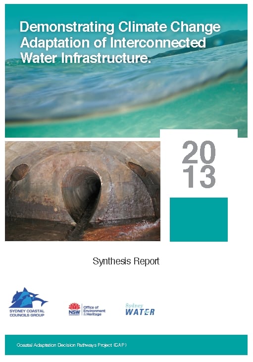
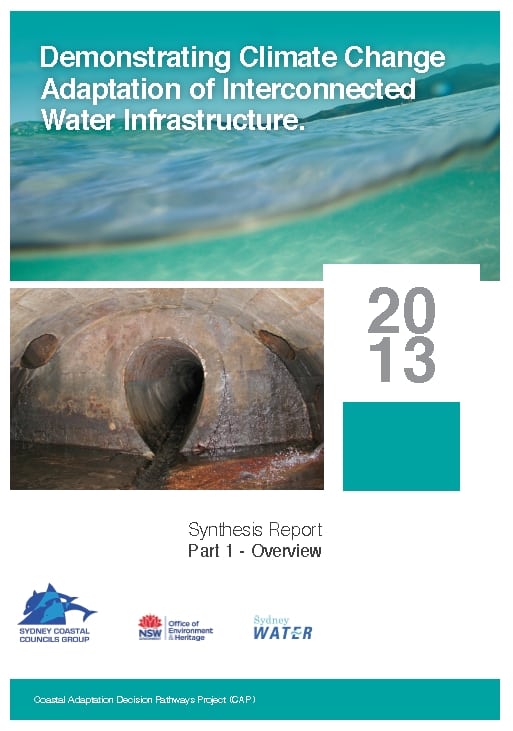
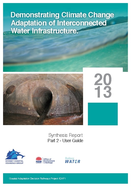
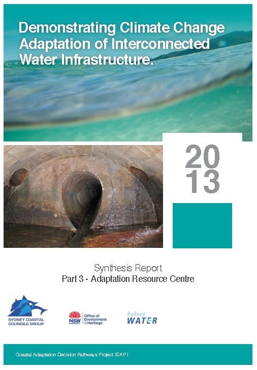
Demonstrating Climate Change Adaptation of Interconnected Water Infrastructure Project

In July 2011, the Sydney Coastal Councils Group (SCCG) was awarded funding under the Coastal Adaptation Decision Pathways Project (CAP) for three projects- (1) “Prioritising Coastal Adaptation and Development Options for Local Government”; (2) “Demonstrating Climate Change Adaptation of Interconnected Water Infrastructure Project” and; (3) “Assessment and Decision frameworks for Existing Seawalls”. Funding has been provided by the Australian Government represented by the Department of Climate Change and Energy Efficiency. The Coastal Adaptation Decision Pathways projects is an Australian Government Initiative. A newsletter covering all three projects is available here.

This project, “Demonstrating Climate Change Adaptation of Interconnected Water Infrastructure”, developed information, guidance and capacity building activities to ensure implementation of appropriate asset management systems for water infrastructure in a changing climate.

A case study approach was used to developed a structured decision-support Framework to assist infrastructure managers to work through the complex problems associated with managing interconnected water infrastructure.

The Framework is based on an interdisciplinary and collaborative approach, providing an iterative and reflective learning environment where participants can improve not only their own knowledge and skills but also a deepened understanding of the problems and potential options to progress to an adaptive pathway.

The Report materials are available for download here:

The tools provide technical support and templates for users, and the User Manual is designed to be instructive with clear, simple steps through each stage of the process. The Adaptation Resource Centre uses an interactive PDF format.

The Case Studies (Part 4) are available to download here. The case studies were undertaken in the context of a learning environment and the data and findings must be understood in that context. The case studies narrowed the focus to a single hazard and particular management questions, and are limited in their application outside the parameters defined by the project.

The project was delivered in partnership between SCCG, Sydney Water, Water Research Laboratory (UNSW) and the NSW Office of Environment and Heritage (OEH). Click here to learn more.

Coastal Vulnerability to Multiple Inundation Sources Project (COVERMAR)

A prize winning project!

This project received State and National recognition, winning both the New South Wales and Australian 2014 Resilience Australia Awards (local government category). The Awards recognise innovative practices and achievements across the nation which support and strengthen community disaster resilience.
Intoduction

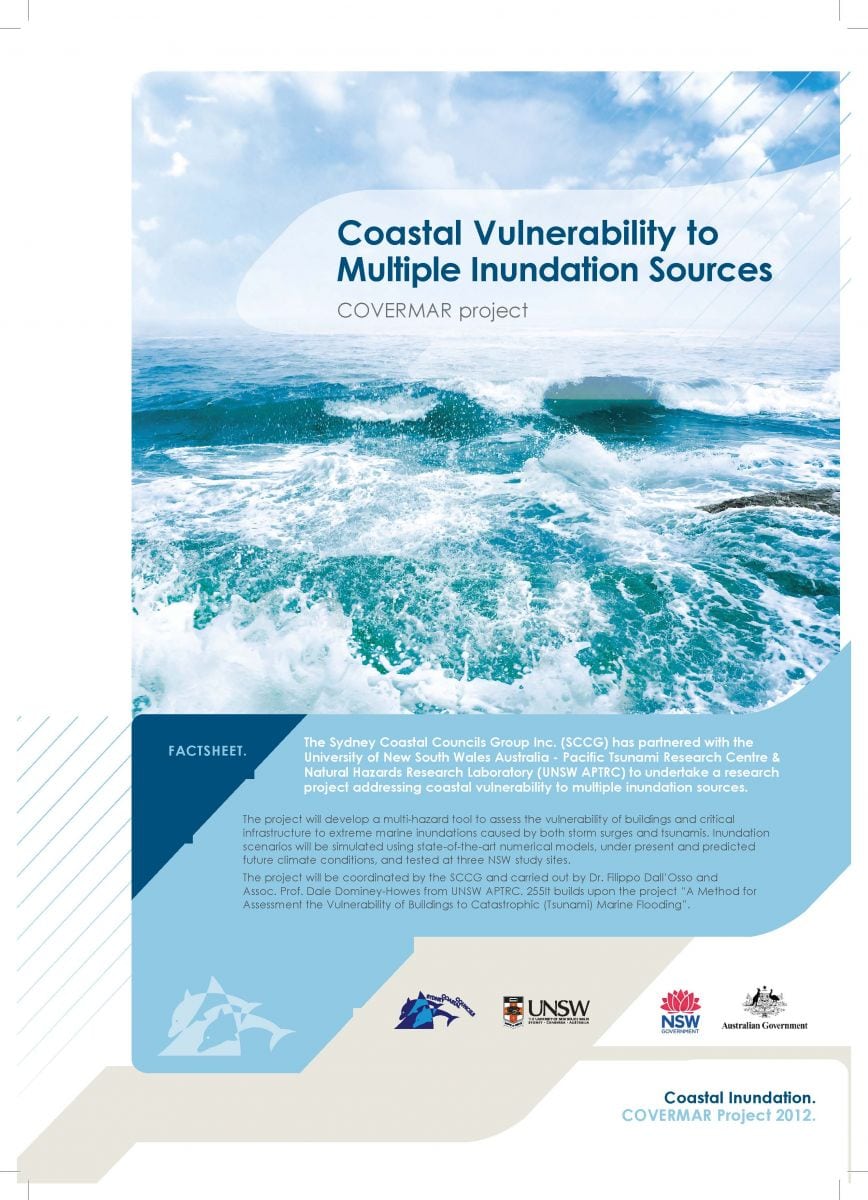
The Sydney Coastal Councils Group Inc. (SCCG) partnered with the University of New South Wales Australia – Pacific Tsunami Research Centre & Natural Hazards Research Laboratory (UNSW APTRC) to undertake a research project addressing coastal vulnerability to multiple inundation sources.

The project has developed a multi-hazard tool to assess the vulnerability of buildings and critical infrastructure to extreme marine inundations caused by both storm surges and tsunamis. Inundation scenarios were simulated using state-of-the-art numerical models, under present and predicted future climate conditions, and tested at three NSW study sites.

The project was coordinated by the SCCG and carried out by Dr. Filippo Dall’Osso and Assoc. Prof. Dale Dominey-Howes.

The project Fact Sheet can be viewed by clicking on the image below.
Stages

  1. We developed a multi-hazard tool to assess the vulnerability of buildings and critical infrastructure to extreme coastal inundation caused by storm surges and tsunamis, modelling 36 tsunami scenarios combining two sources, three annual tsunami probabilities, the current and two future sea levels and high tide and mean sea level.
  2. We undertook a multicriteria analysis of the vulnerability of our 15 Member Councils and identified Botany Bay and the adjoining Port Hacking and Bate Bay as an appropriate case study location.
  3. We surveyed the physical and engineering attributes of all buildings in the study area (~4000 buildings) and imported them into a GIS system.
  4. State of the art building fragility models were applied to assess the level of damage of each individual building
  5. We then calculated expected economic losses (Probable Maximum Loss) drawing upon current building construction, demolition and replacement costs. Results were displayed on a series of coded high-resolution colour coded maps.

Project deliverables inform coastal strategic planning, development assessment and emergency management. They expand awareness and understanding of the vulnerability of NSW coasts to inundation (from storm surge and tsunami) and its impact on infrastructure, canvassing recommendations in relation to planning and development and coastal and emergency management. Many elements of the project methodology can be applied to other hazards such as bushfire and flooding.

Funding

This project is funded by the Australian and NSW Governments and conducted under the Natural Disaster Resilience Program, as described in the National Partnership Agreement on Natural Disaster Resilience and the NSW Implementation Plan 10/11.

Project Outputs

Literature Review Report

A Literature Review Report has been prepared that provides contextual knowledge and information regarding the project. It reviews relevant past, existing and emerging work that has been synthesised into five sections:

    1. Scope
    2. Risk, hazard, vulnerability and exposure
    3. Extreme inundation events
    4. NSW policy framework on coastal and flood risk
    5. Review of methods for assessing the vulnerability of buildings and infrastructure to extreme inundations.

The Hazard Assessment Report reviews the numerical simulations of the selected tsunami and storm surge inundation scenarios: 1/100 yr storm surges, and 1/100 yr, 1/1,000 yr and 1/10,000 yr. tsunamis under present and future sea level conditions.

Outcomes Report

This report describes the methodology and presents the results of the building and infrastructure vulnerability assessment at a NSW case study location.

Project Launch

On 17 February 2014, at Customs House, Sydney, the project deliverables were launched. Presentations from the principle researcher and three other industry stakeholders (Geoscience Australia, NSW SES and the Hazards Research Group, University of Sydney) were delivered to 62 attendees representing 40 different organisations. Presentations provided an overview of storm surge and tsunami risk in Australia, reflected on the role of the NSW State Emergency Service and the contribution to research and information by Geoscience Australia. It also reviewed the development of the tool, project methodology, benefits afforded by the Advisory Committee, case study locations and the results thereof. An end-of-launch panel discussion provided an opportunity for participants to explore issues further.

Overall, 80% of respondents considered the event very good or excellent, and very or extremely unique. Ninety-two percent thought it was well structured and 50% said it exceeded expectations. Notably, 92% indicated that their skills and knowledge of coastal hazards such as storm surges and tsunamis improved by attending the event. Presenters were well prepared (100% agreement) and communicated well (90% agreement). It was also a good networking opportunity (87% agreement).

The subject matter, structure, duration, high calibre of presenters and the contribution of participants ensured that the event was a success. Lessons learned and evaluation results will be applied to future activities to ensure continuous improvement of SCCG events.


The following presentation slides from the Launch are available for download:

Associate Professor Dale Dominey-Howes, University of Sydney

Australian Tsunami – An overview from hazard to community risk perception.

Dr. Filippo Dall’Osso, UNSW
Coastal vulnerability to multiple inundation sources

Belinda Davies, NSW SES
Emergency management of coastal hazards in NSW

Mark Edwards, Geoscience Australia
Natural hazards impact accessment at Geoscience Australia