Watch our education video to find out more about the Greater Sydney Harbour Coastal Management Program (GSHCMP) and how it can help improve catchment and waterway health for our iconic Harbour.
Project Summary
Twenty councils within the Greater Sydney Harbour catchment had collaborated with state agencies to develop a whole-of-system Coastal Management Program for Greater Sydney Harbour. The SCCG was the lead project manager for the delivery of this CMP.
Greater Sydney Harbour Coastal Management Program Stage 1 Scoping Study identified urban stormwater discharge and coastal inundation with sea level rise as high priority threats. The Sydney Harbour Water Quality Improvement Plan has also been completed and provides a strong base for the development of the GSHCMP.
To assess threats posed by stormwater and coastal inundation, a Stage 2 investigation was completed to determine risks across all catchments feeding the Harbour and steps needed to mitigate those risks. The aim was to provide for coordinated action by councils, in partnership with state agencies and the community, to facilitate integrated waterway health management for the entire Greater Sydney Harbour system.
The Stage 2 investigation comprised of the delivery of the following inter-related studies and reports:
- Study 1 investigated the effectiveness of stormwater management practice and climate change planning across 20 councils in the Greater Sydney Harbour
- Study 2 identified council needs and management options for addressing stormwater discharge, waterway health and coastal inundation
- Study 3 reviewed options for establishing a governance and sustainable funding structure that would ensure the long-term sustainable health of the catchment
- Delivery of a series of workshops with technical experts and councils on the topic of water quality, climate change and catchment initiatives. A copy of the technical report is available on request.
The next stage, Stage 3, involves the development and evaluation of potential management options that can address those issues identified in Stage 2 in an integrated and strategic manner.
This project is supported by the NSW Government’s Coastal and Estuary Grant Program – Planning Stream.
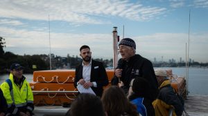
Picture of Prof. Bruce Thom (Chair) actively engaging with stakeholders and experts in Sydney (Photo credit: Sydney Water).
Purpose of a Coastal Management Program
Under the Coastal Management Act 2016 (CM Act) councils may prepare Coastal Management Programs (CMPs) which set out the long-term strategy for the coordinated management of the coast, with a focus on achieving the objects and objectives of the CM Act.
CMPs identify coastal management issues in the area, the actions required to address these issues, and how and when those actions will be implemented. They detail costs and proposed cost-sharing arrangements and other viable funding mechanisms.
The CM Act (and other relevant legislation) establishes specific roles and responsibilities for relevant Ministers, the NSW Coastal Council, public authorities and local councils, as well as providing opportunities for communities to participate when preparing and implementing a CMP.
You can find out more detailed information about Catchment Management Programs here.
The importance of the Greater Sydney Harbour
Greater Sydney Harbour is one of the world’s greatest harbours and as such is a state, national and global asset. It stretches from its upper tidal limits on the Parramatta River downstream to the ocean entrance between North and South Head. Its catchments are the home of 3.07 million people (projected to go to 4.35 million by 2041) and the region is responsible for around 25% of the nation’s GDP[1].
Greater Sydney Harbour is a magnet for tourists the world over and a source of great ecological diversity. Its waters are threatened by possible adverse impacts of population growth and development and potential impacts of climate change including sea-level rise and high magnitude catchment runoff.
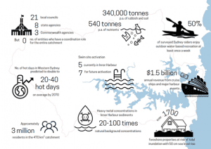
Key features of the Greater Sydney Harbour catchment
At the centre of Australia’s largest city, the harbour is subject to intense human activity which presents coastal managers with many challenges. Understandably, developing and delivering a whole-of-catchment CMP will be a complex task with the project team currently working with 33 stakeholders to plan and deliver the GSHCMP. Buy-in and participation by all levels of government and the community is imperative to achieving a strategic and coordinated management framework for the Harbour.
The Sydney Coastal Councils Group is the project manager for the GSHCMP. It will be whole-of-catchment and encompass Sydney Harbour tidal waterways and its catchment lands.
Conceptual Model of Wet and Dry Weather Conditions
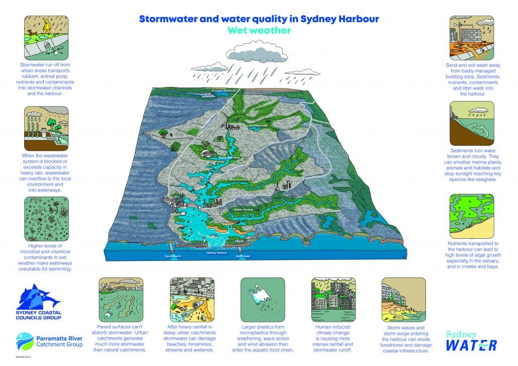
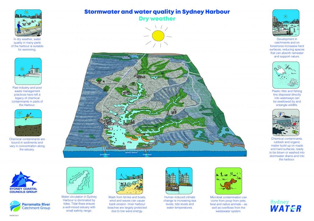
To download, click here.
These conceptual models show the impacts of stormwater discharge into Greater Sydney Harbour under both wet and dry weather conditions. The models were developed by Sydney Water in partnership with the SCCG, PRCG and DPE project team.
The importance of working together
A single, whole-of-system Coastal Management Program is needed to facilitate coordinated and integrated management of Australia’s most iconic and important waterway.
Local councils have a central role in managing the coast. The Sydney Coastal Councils Group promotes collaboration between member councils on environmental issues relating to the urban coastal and estuarine environment. We represent nearly 1.3 million Sydneysiders with six councils adjacent to Sydney marine and estuarine environments and associated waterways.
There are a host of benefits to working together in a holistic and integrated way as part of the Sydney Coastal Councils Group – improved environmental outcomes, improved capacity to address strategic and harbour-wide issues and interest, better communication, advocacy and promotion and efficiency savings to name a few.
Please contact SCCG if you’d like to join the many benefits of being a member council.
Conclusion and discontinuation of the Greater Sydney Harbour CMP Stage 2
The CMP Stage 2 investigations concluded in late 2022 and resulted in the delivery of the following reports:
The SCCG subsequently submitted a grant funding application to the NSW Coastal and Estuary Grants Program to progress the GSH CMP. This included developing regional approaches to integrated catchment and waterway management, monitoring, evaluation and reporting, and coastal inundation. The application was however withdrawn due to insufficient funding to project manage this work.
Discussions were held between Professor Thom, SCCG and the NSW Government throughout 2023 to explore opportunities for progressing the GSH CMP. However, these discussions did not bear fruit. Given a lack of direction, it was decided to discontinue the GSH CMP.
To recover the momentum built during the GSH CMP, the SCCG decided to rescope the CMP to focus on outer Sydney Harbour. The SCCG is now progressing with the Outer Sydney Harbour CMP Stage 2-4.
GSH CMP Communiques
See the latest communiques circulated to partners
[1] https://www.sgsep.com.au/publications/insights/gdp-report-economic-performance-of-australias-cities-and-regions

Sydney Harbour, Courtesy of Department of Planning and Environment
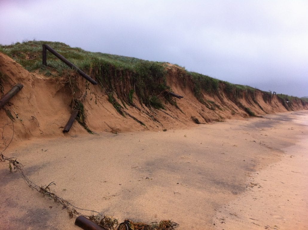
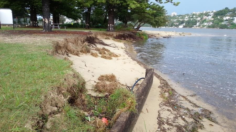
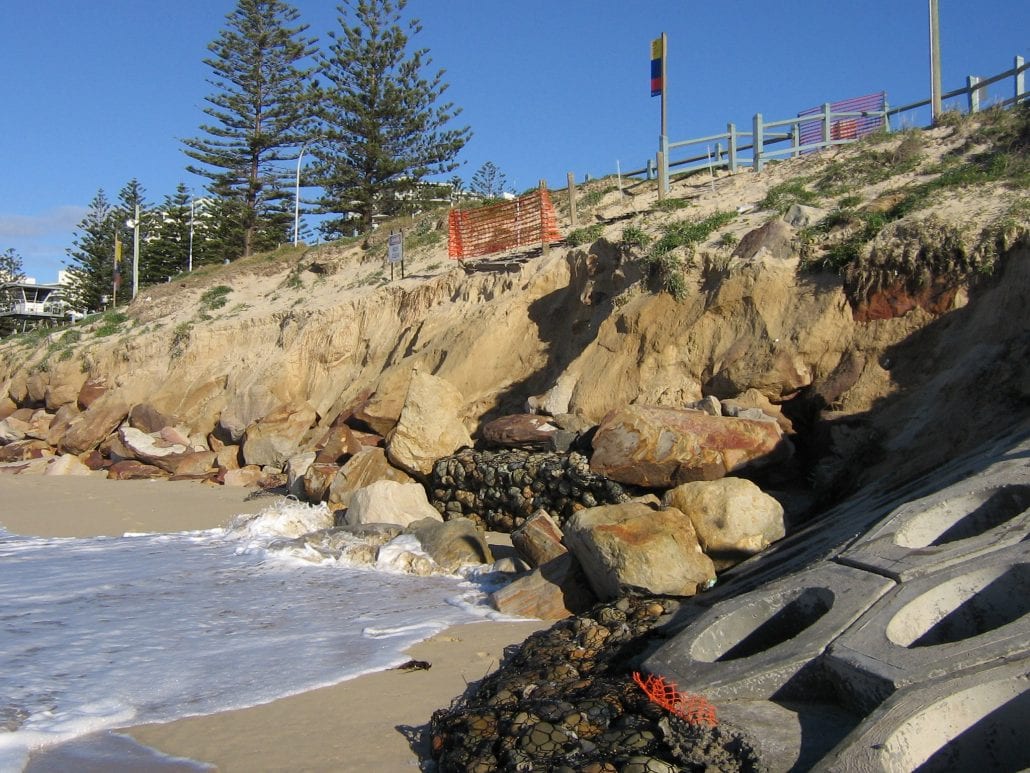


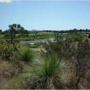 The Model Development Control Plan (DCP) – Protecting Sydney’s Wetlands was prepared by the SCCG in conjunction with the Protecting Wetlands Steering Committee. The Model DCP and the supporting resource folder provide Local Government and other development consent authorities with a generic model planning mechanism for consistent and coordinated protection and management of coastal wetlands.
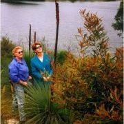
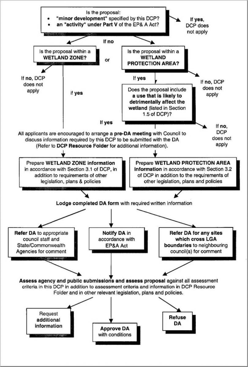 The purpose of the Model DCP and the supporting management reference Assessment process material is to provide a template for consent authorities to develop their own consistent planning mechanisms to protect wetland systems. The purpose is to also provide clear information and advice to Council officer and developers. The generic instrument can be either simply adopted or incorporated into existing relevant planning instruments and easily amended where necessary to suit location conditions. The Model DCP was prepared as a whole of government initiative involving all spheres of government and research organisations.
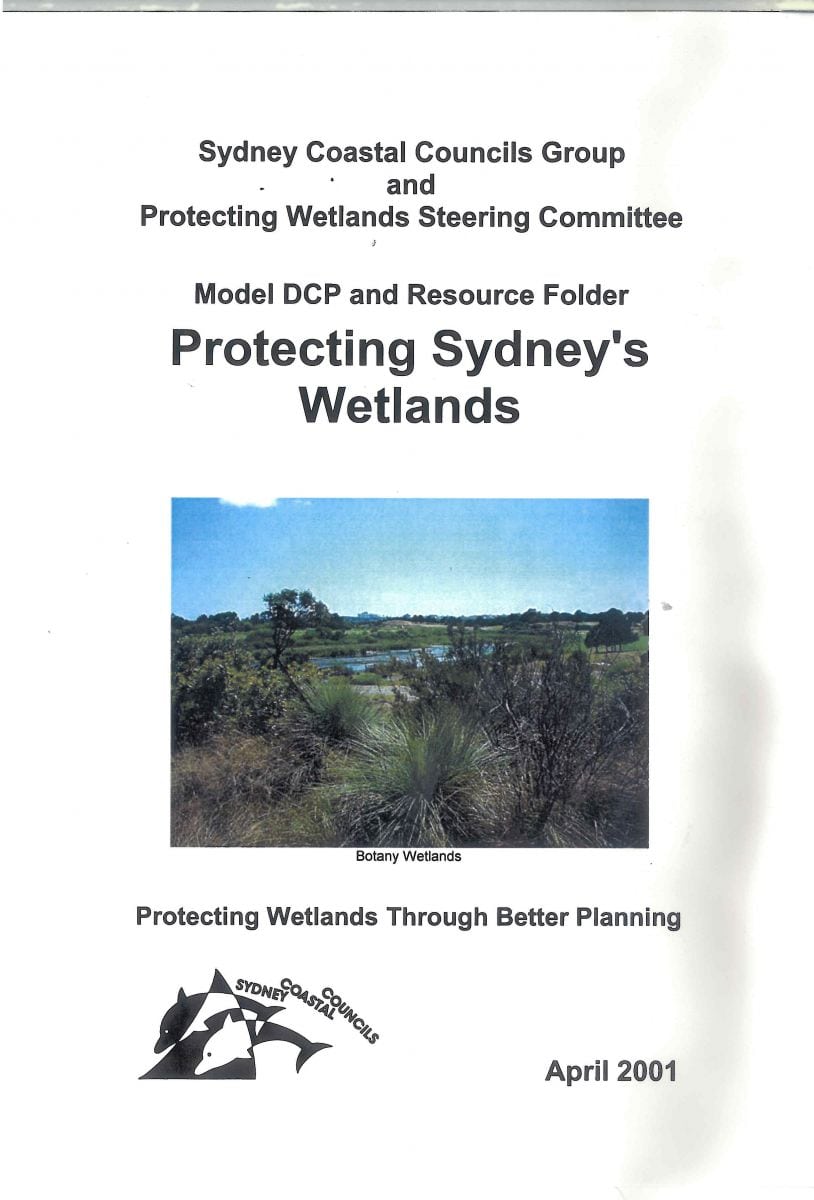
 Sydney Regional Coastal Management Strategy, 1998
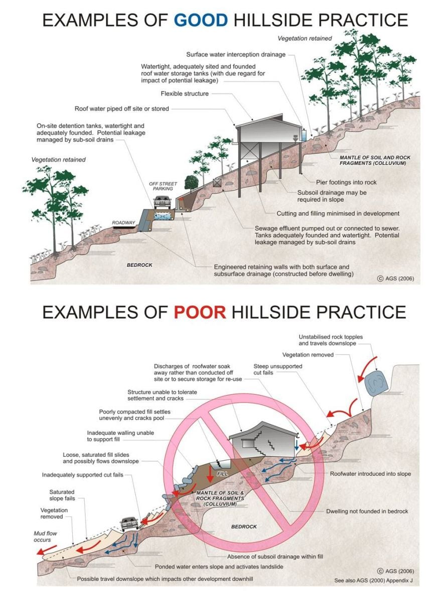
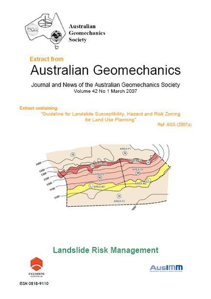
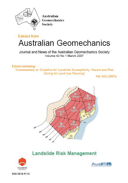
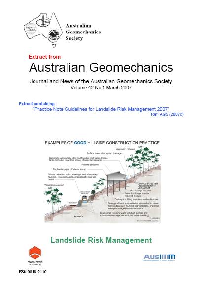
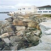 In recognition of the challenge between development pressures and landslide hazard, in the year 2000 the Australian Geomechanics Society (AGS) published a benchmark technical paper “Landslide Risk Management Concepts and Guidelines” (AGS, 2000) – which significantly updated an earlier 1985 guideline. It was recommended in the report of the Coroner’s Inquiry into the 1997 Thredbo landslide that AGS (2000) be taken into account – through directions in the Building Code of Australia and local codes dealing with planning, development and building approval procedures – when assessing and planning urban communities in hillside environments.
 Whilst AGS (2000) presented concepts and guidelines to assist practitioners, there remained a need to provide supplemental information to further assist practitioners, to assist regulators and to provide advice to the broader Australian population. This was recognised by the SCCG who in turn submitted a successful grant application under the NSW and Commonwealth Governments’ National Disaster Mitigation Program.
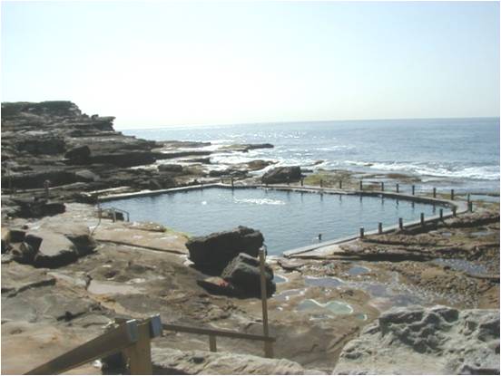 The SCCG Member Councils face a continual challenge from settlement and growth of marine organisms (“fouling”) on coastal rock pools and platforms. The challenge arises from public health and safety concerns (and associated Council liability) for bathers who can slip on fouled surfaces. Approaches used to date primarily include mechanical cleaning and various biocides, particularly chlorine based bleaches. The use of the latter is constrained by significant concerns over non-target effects as the chlorine washes from platforms/pools into the marine environment more generally.
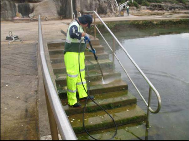 Mechanical cleaning has also not proved satisfactory because even very frequent cleaning is not sufficient to prevent fouling. This is not particularly surprising, given that microfouling – bacteria, diatoms, other microalgae – can form a slippery layer of slime with a day or two. These and other approaches to the problem are detailed in the SCCG’s 1996 discussion paper, “Finding suitable options for cleaning Sydney’s estuarine tidal baths & ocean rock pools for use by local governments”.
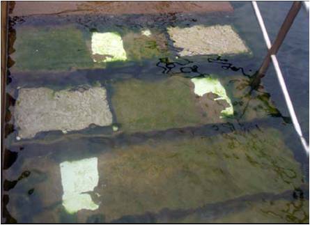 In 2008, the SCCG contracted Centre for Marine Bio-Innovation Algae samples(University of New South Wales) to undertake the above mentioned project. This project was made possible with funding contributions from the NSW Department of Environment, Climate Change and Water, Randwick and Sutherland Councils together with the SCCG.
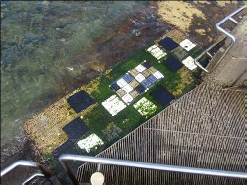 Results found that two coatings in combination with modified cleaning practices are recommended for commercial scale trials on pedestrian access points anticipating subsequent take up of these technologies. When these coatings are combined with the recommended modified cleaning practices the following improvements are expected:


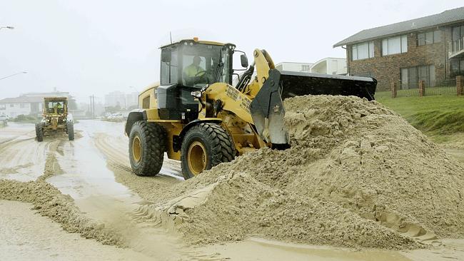
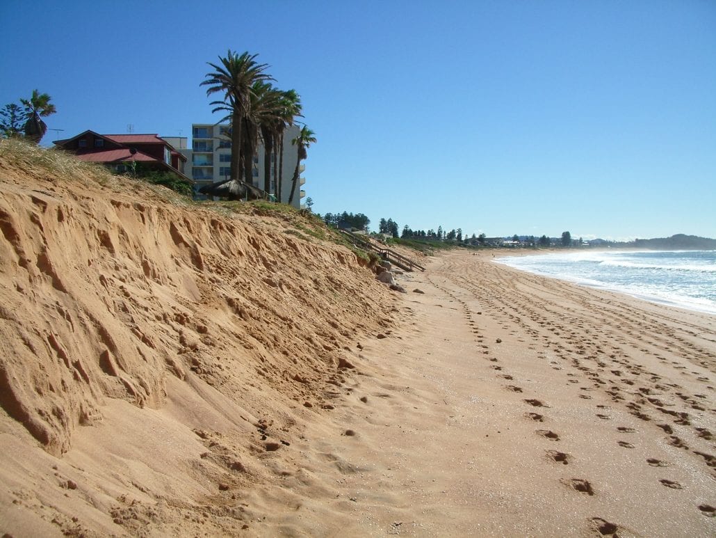
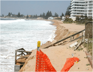 In order to address the issues of continual shoreline erosion in these “at threat” sites to a point where decision makers can commit long-term physical and financial resources, it is essential to understand the environmental, physical and economical needs and feasibility of utilising offshore marine sand source for beach nourishment purposes. The task of assessing the feasibility of these aspects is detailed and complex and seeks to advance government policy on the potential use off marine resources of sand for nourishment purposes.
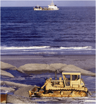 The study focuses in detail on the application of sand nourishment to the proposed case study sites: Collaroy / Narrabeen, Manly and Bate Bay (Cronulla) beaches; but also provides generic consideration of sand nourishment requirements in other areas of the Greater Metropolitan Region facing immediate threat including: Pittwater LGA – Bilgola Beach; Gosford LGA: Wamberal, North Avoca and Terrigal beaches; Newcastle LGA: Stockton Beach. Similarly the study provides a generic assessment of the sand nourishment requirements to offset the loss of recreational amenity within the Sydney Greater Metropolitan Region open coast beaches from projected rise in mean sea level due to climate change.